


 Download(8.13MB)
 1.2.0.13
 12.03MB
8.8
The mobile app of the geospatial software product line Suri.
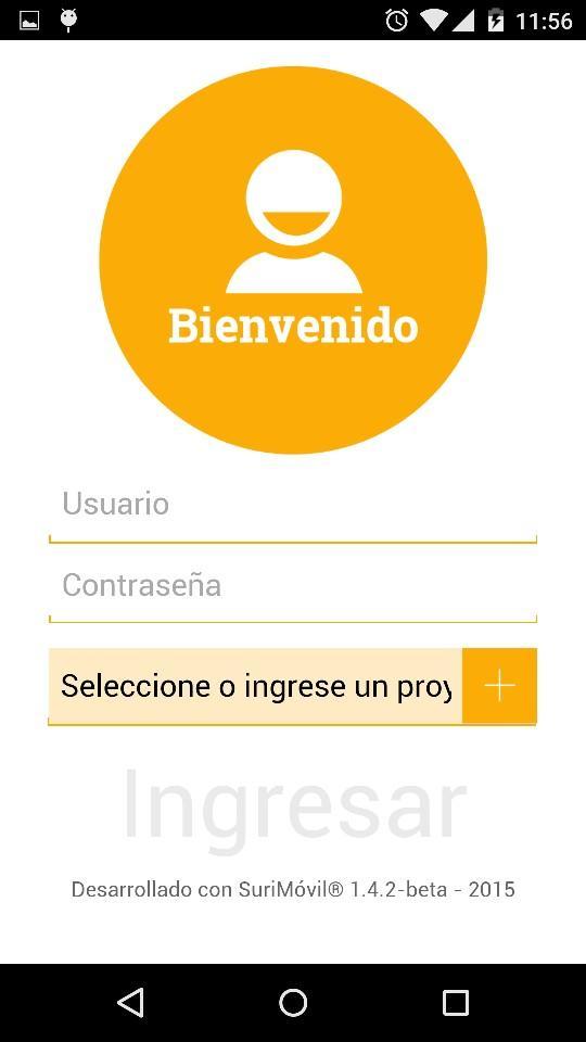
SuriMovil is a Geospatial Information System for smartphones and tablets. This product is the mobile app of the geospatial software family Suri.
SuriMovil in combination with SuriWebGIS can bring powerfull solutions for:
- Field inspections support with systematic data collection from custom data models.
- Field decision making in real time based in contextual geospatial information.
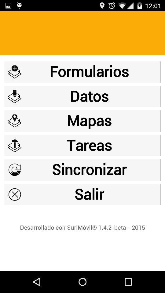
- Planification and monitoring of field operations from central base with task assignment.
- GeoINT applications.
Main features of SuriMovil:
- Secure client-server architecture for full integration with SuriWebGIS
- Support of smartphones and tablets
- Multi-platform (Android supported, iOS in development)
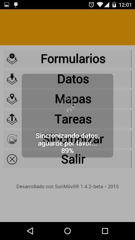
- Map and data access for query, analisys and edition
- GPS and camera access
- Off-line work mode supporte with data persistence
- Role based data access control
- Intuitive user interface for touch screen
----------------------------------------
Requirements:
- To access the application you need a SuriWebGIS project account with the SuriMovil module activated.
Please contact your provider.
 Similarity
January 22, 2026
January 22, 2026
January 21, 2026
January 20, 2026
January 18, 2026
January 18, 2026
January 17, 2026
January 16, 2026
January 15, 2026
January 15, 2026
January 13, 2026
January 12, 2026